Order by Dec 17 for Christmas delivery · Free shipping to any US addressOrder by Dec 17 for Christmas · Free US shipping

FREE SHIPPING ON ALL ORDERS

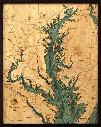
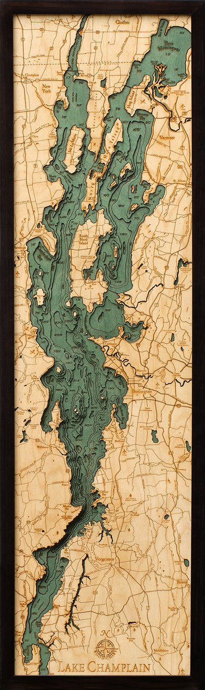
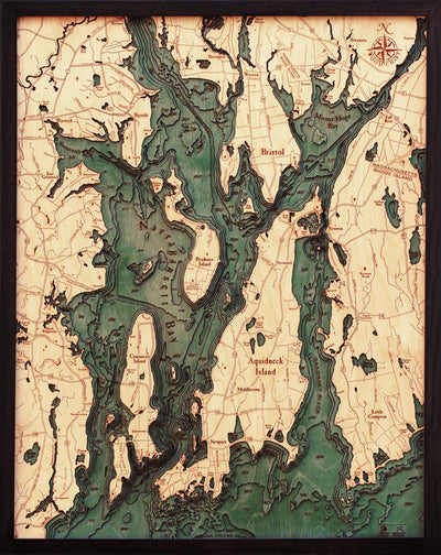
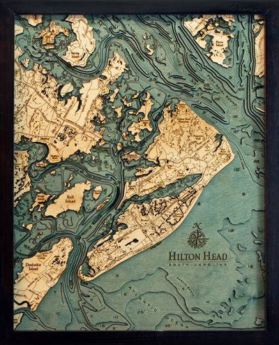
Outer Banks, NC 3D wood depth map
Outer Banks, NC 3D wood depth map, view 2
Outer Banks, NC 3D wood depth map, view 3
Outer Banks, NC 3D wood depth map, view 4
Outer Banks, North Carolina Wood Carved Topographic Depth Chart/Map

3D depth chart East Coast

Outer Banks, North Carolina Wood Carved Topographic Depth Chart/Map

See the Outer Banks in 3D: a nautical map cut from stacked Baltic Birch layers and framed in solid wood. Kitty Hawk, Hatteras and its storied shoals.

Regular price
$299.00
Sale price
$299.00

Size: 13.5 Ă— 43 in

Frame: Brown
  • Free US shipping · ships the next business day
  • Returns accepted for 14 days · Return policy
  • Sending a gift? Enter their address at checkout and we'll ship it straight to them.
  • Order by Dec 17 for Christmas delivery with free shipping.

About this map

The Outer Banks are a string of barrier islands that runs for about 200 miles off North Carolina. The Wright brothers first flew near Kitty Hawk in 1903, and the shoals off Cape Hatteras have claimed countless ships.

This map of the Outer Banks is cut from Baltic Birch, one layer for each depth contour, and the stacked layers show each island's shoreline and the depths between them in 3D. Place names, shoreline detail and depth lines are engraved by laser, and the finished map sits behind acrylic glass, framed in solid wood.

Details

  • Dimensions 13.5 x 43 inches
  • Frame Brown, gray or white
  • Materials Baltic Birch, solid wood frame, acrylic glass front
  • Hanging Comes ready for the wall

Good to know

Is this a print?

No. It's a stack of Baltic birch layers cut by laser, one for each depth contour, so the lake bottom takes real shape in the wood. Place names and shoreline detail are engraved by laser, and the map is set in a solid wood frame behind acrylic glass.

Shipping and delivery

Every order leaves our shop within one business day (Monday to Friday, except holidays), and you'll get a tracking link by email when it ships.

There's no charge for standard shipping to US addresses. FedEx Express 3-day, 2-day and 1-day upgrades are offered at checkout.

For Christmas, order by December 17 with free standard shipping. After that, choose a FedEx Express upgrade at checkout.

Shipping policy

Returns and damage

If you'd rather not keep it, ship it back unused, in the condition it came in, within 14 days after it's delivered, and we'll refund the price of the item. Return shipping is paid by the customer.

Damaged in shipping, or not the item you ordered? Send us photos within 7 days and we'll send a new one or give you a full refund, at our expense.

Return policy

Shipping to someone else

Enter the recipient's name and address as the shipping address at checkout and we'll send it straight to them. Returns on gifts shipped directly to the recipient are refunded as store credit.

Questions? Email lakechartinfo@gmail.com. We answer within one business day.

Inside every Lake Chart map

The depth is built up in wood, not printed on top.

  • A layer for each depth

    Each contour line on the depth chart is cut as a separate piece of Baltic birch.

  • Cut by laser

    A laser cuts every shoreline, island and contour, so the edges stay crisp.

  • Tinted and engraved

    The water is tinted so it stands out from the land, and town names are engraved by laser.

  • Framed

    The layers go into a solid wood frame behind acrylic glass, ready for the wall.