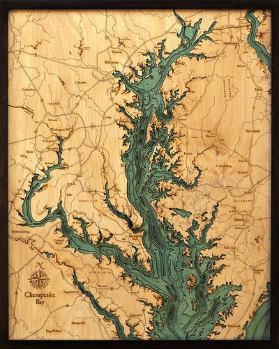
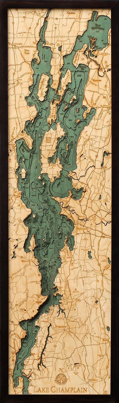
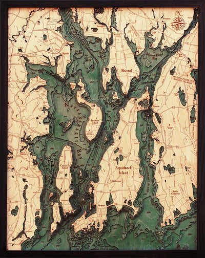
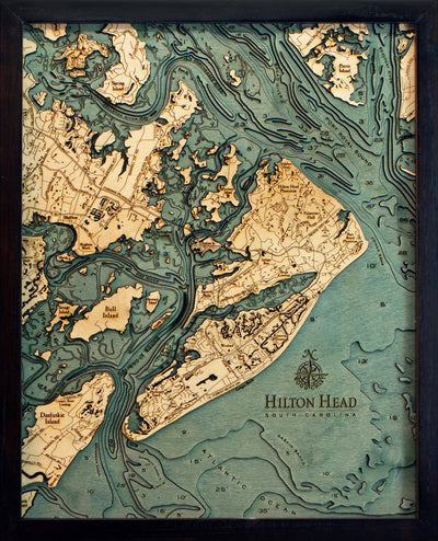
Inside every Lake Chart map
The depth is built up in wood, not printed on top.
-
A layer for each depth
Each contour line on the depth chart is cut as a separate piece of Baltic birch.
-
Cut by laser
A laser cuts every shoreline, island and contour, so the edges stay crisp.
-
Tinted and engraved
The water is tinted so it stands out from the land, and town names are engraved by laser.
-
Framed
The layers go into a solid wood frame behind acrylic glass, ready for the wall.